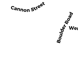
2 CANNON ST
Owner Information
ODONNELL ANDREW P
2 CANNON ST
NEWTON, MA 02461


Property Details
2 CANNON ST is classified as a Single Family Residential (Old style).
The primary structure on this property was built in 1897. There are 3,954ft2 of built area within this property. There is 2,390ft2 of residential/living space within this property. This property is listed as having 8 rooms.
2 CANNON ST is valued at $980,100. The land is valued at $598,400 and the structures are valued at $381,700.
This property is in Zone SR2. Confirm with local Zoning Board authorities to ensure there are no overlays or other easements on this property.
The most recent deed for 2 CANNON ST is recorded at the local registrar in Book 77925, Page 441. 2 CANNON ST was last sold on Thursday, June 3, 2021 for $1,135,000.
Assessment data from fiscal year 2022.
Flood Data
This property is partially within the AE Zone (within floodplain). Approximately 0.11 acres (89.73%) of the property is within this zone.
This information is sourced from the FEMA National Flood Hazard Layer. See our full disclamer.
Broadband Internet Providers
| Provider | Type | Bandwidth (mbps) | |
|---|---|---|---|
| Viasat Inc | Satellite | 100 | 3 |
| Verizon New England Inc. | Fiber | 940 | 880 |
| Comcast | Cable | 1000 | 35 |
| RCN | Cable | 500 | 20 |
| VSAT Systems, LLC. | Satellite | 2 | 1 |
| HughesNet | Satellite | 25 | 3 |
| GCI Communication Corp. | Satellite | 0 | 0 |
Broadband service provider data from December 2020.